
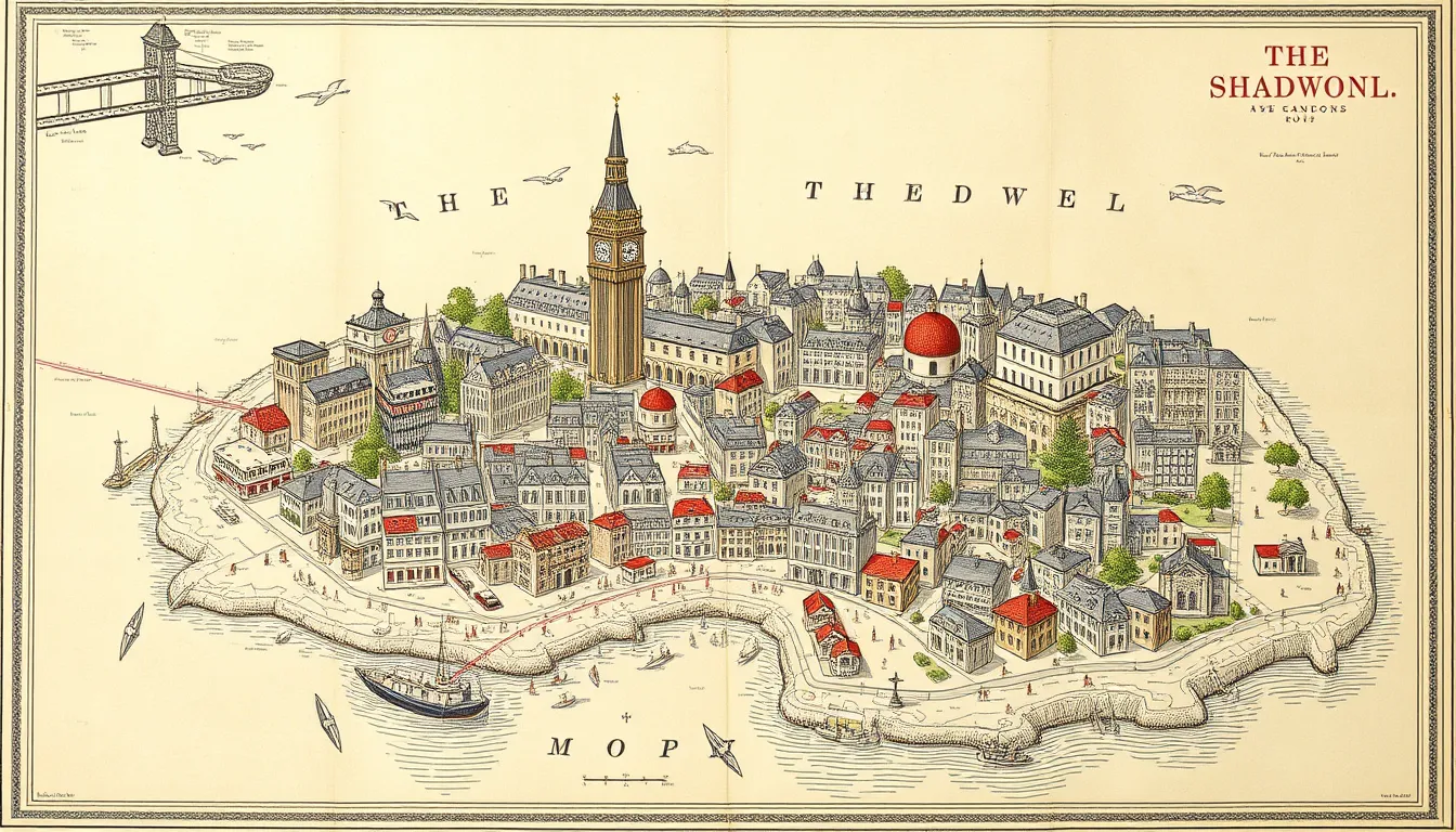
The Lost Island of Shadwell: Colouring Georgian London’s Map
What a 280-Year-Old Map Is Hiding in Wapping and Shadwell
If you have ever walked past the terraces between Wapping and Shadwell and wondered why the streets bend the way they do, you are not alone. A local history enthusiast has spent months colouring in John Rocque’s 1746 chart of London, and the results are turning up some surprises right on our doorsteps. The map is a remarkable piece of surveying, showing the city in a level of detail that few places of its era could match. Each of its 24 panels takes around 20 to 30 hours to colour, and the work is done digitally in Photoshop rather than with paint or crayons. Building, field, river and tree each get their own layer, so the colours can be switched on and off to reveal what lies beneath. Focusing on the riverside stretch where Wapping meets Shadwell, the project has highlighted a short road labelled Prusons Island. The name suggests an island, yet no historical map has been found showing the area surrounded by water. Once the blue waterways are isolated, however, a clear pattern of channels emerges running through the district. For anyone who knows these streets, it is a reminder that the neighbourhood was once far wetter and more marshy than the brick and tarmac suggest. The project is a good reminder that the landscape we walk on daily carries layers of history we rarely see.
Why Prusons Island Matters to Local Residents
For residents, the story is more than a curiosity about a street name. Shadwell and Wapping sit on low-lying ground that would have been damp and marshy for most of its history, and the old streams shaped where people built homes, workshops and alleys. The curve of Laughtons Rents, for example, appears to follow the bank of an old stream that is now buried, and a remnant near Hilliards Court seems to have been a tributary. If the reconstructed waterways are correct, the parish boundaries that run through the area also trace these curves, suggesting that the old water courses influenced how the district was divided and settled. Those are the kinds of details that change how you read a familiar street. Local history groups and archive-minded residents may find this useful when researching their own properties or family roots, since street layouts can offer clues about older land use. It is also worth noting that the work so far is speculative. Historians including Adrian Prockter of Know Your London have looked into the island question without finding firm evidence that it was ever fully surrounded by water. The digital reconstruction is a hypothesis, not a settled fact, and it is best treated as an invitation to investigate further rather than a final answer.
How to Explore the Story and What to Watch Next
The good news for curious locals is that you can follow this history yourself without special training. Layers of London, the online mapping resource used in the project, lets you overlay historical maps on the modern street plan and toggle parish boundaries, which is a practical way to test the theory on your phone or laptop. Walking the area with the Rocque map in hand is another rewarding option. Look for dips in the ground, unusual curves in kerbs and lanes, and older buildings that sit slightly askew from the modern grid. Know Your London’s writing on the topic is a good place to dig deeper into the sources. If you enjoy seeing historic cartography in person, keep an eye on upcoming London exhibitions and museum displays about maps and the capital’s riverside past, as these often bring together prints and modern commentary that help make sense of places like this. Anyone with old deeds, parish records or local photographs of Shadwell and Wapping is well placed to help confirm or challenge the reconstruction, and sharing those finds with local archives would strengthen the case either way. The next steps will likely involve more archival checking rather than new maps, so the question of whether Prusons Island was truly an island remains open for residents to help answer.
Source: The Lost Island Of Shadwell
Readers curious about the mapmakers’ lost island can still visit London Shadwell today to see how the old riverside streets have changed.